Pronóstico del tiempo para 10 días
Ciudades :
| temperaturas, Tiempo | Viento |
Ereván, Armenia
| Viento (medio/ráfagas) en kt | ||||||||||||||||||||||||
| fecha |
| |||||||||||||||||||||||
| lunes 22 |  06/07 |  04/09 |  04/04 | 13/22 | ||||||||||||||||||||
| martes 23 | 10/16 | 08/13 | 06/11 |  01/03 | 03/03 |  03/04 | 12/16 | 13/21 | ||||||||||||||||
| miércoles 24 |  07/12 | 08/14 | 06/13 | 03/05 | 00/03 |  04/05 |  04/07 |  04/04 | ||||||||||||||||
| jueves 25 | 05/07 | 05/05 | 04/05 |  03/03 | 06/04 | 05/05 | 02/04 | 07/08 | ||||||||||||||||
| viernes 26 | 07/09 | 06/06 | 03/04 | 03/02 | 05/06 | 06/09 |  07/08 |  01/02 | ||||||||||||||||
| sábado 27 | 05/06 | 05/06 | 04/06 | 04/04 | 05/06 |  09/10 | 02/04 | 04/06 | ||||||||||||||||
| domingo 28 | 05/06 | 04/08 | 04/09 | 07/10 | 07/07 | 07/07 | 07/07 | 10/17 | ||||||||||||||||
| lunes 29 | 05/07 | 04/07 | 03/05 | 05/04 | 07/08 | 05/06 | 03/04 | 08/12 | ||||||||||||||||
| martes 30 | 06/06 | 06/06 | 04/05 | 04/04 | 05/07 | 03/05 | 14/17 | 12/23 | ||||||||||||||||
| miércoles 01 | 10/17 | 08/13 | 06/09 | 01/04 | 03/04 | 05/04 | 07/06 | 09/13 | ||||||||||||||||
| Cambiar las unidades ( kt, m/s, km/h, mph) | ||||||||||||||||||||||||
Pronóstico del tiempo para los próximos 10 días en ciudades de todo el mundo.
Los puntos rojos representan las ciudades disponibles.
Ponga el ratón en el punto deseado para ver el nombre de la ciudad.
Haga clic para ver los pronósticos meteorológicos.
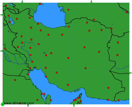
Para cambiar el mapa : haga clic en los botones verdes con una cruz de color negro para hacer un zoom, en el botón verde con un guión para alejar o en las flechas verdes para mapas adyacentes.